
by aisanzar | Jun 5, 2024 | Blog
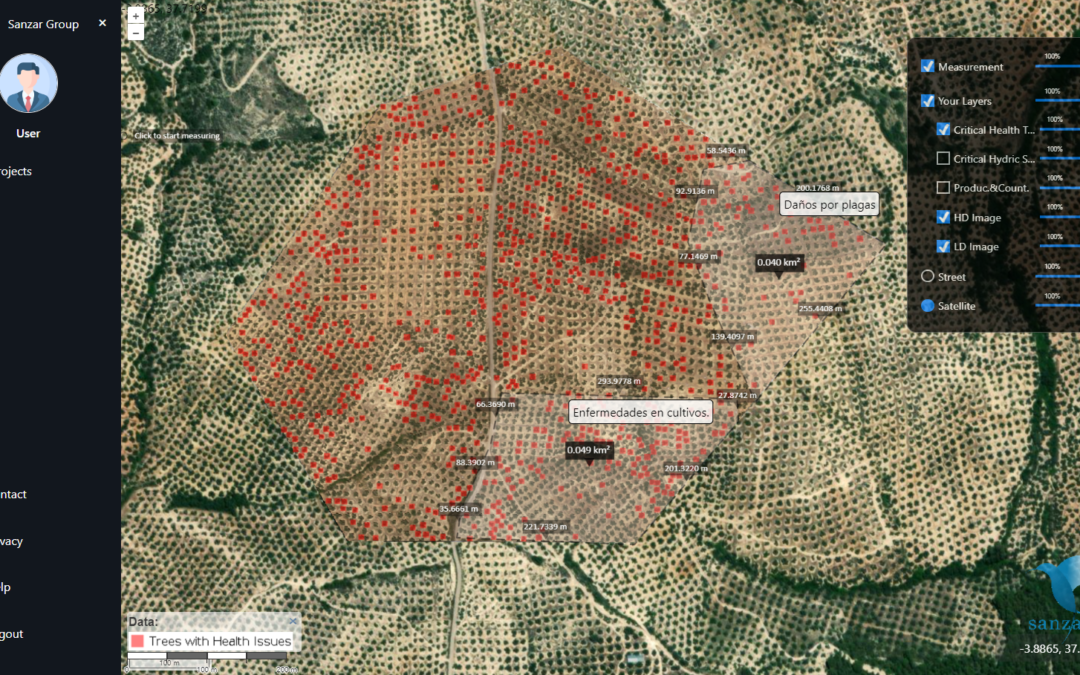
At Sanzar, we’re excited to introduce our innovative AI Land Software, a web-based solution that transforms the way you interact with your properties. 🏞️ With AI Land Software, you can visualize your evaluated lands for various applications, such as insurance,...
by aisanzar | May 31, 2024 | Blog
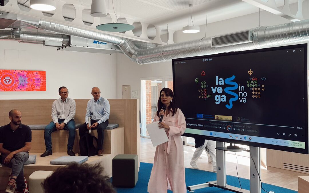
Today, we had the distinct privilege of presenting our cutting-edge solution, “Risk and Damage Assessment through High-Resolution Satellite Images,” at the iHub of La Vega Innova during their Investor Day. This event provided a unique platform for us to...

by aisanzar | May 21, 2024 | Blog
We are excited to announce the release of our new commercial video, where we showcase the incredible advantages we offer for the agricultural sector. At Sanzar, we have developed innovative software that utilizes artificial intelligence and high-resolution satellite...
by aisanzar | May 20, 2024 | Blog
Curious about the power of high-resolution maps driven by AI and HD satellite imagery? Look no further. Here’s the video where we explain what we can provide: What Sets Us Apart: Cutting-Edge Technology: We merge AI algorithms with HD satellite imagery to...

by aisanzar | Apr 12, 2024 | Blog
We at Sanzar are excited to share the details of a momentous event that took place at iHub La Vega Innova, a hub we are proudly affiliated with. In a significant development, we had the honor of hosting Luis Planas, the esteemed Minister of Agriculture, Fisheries and...