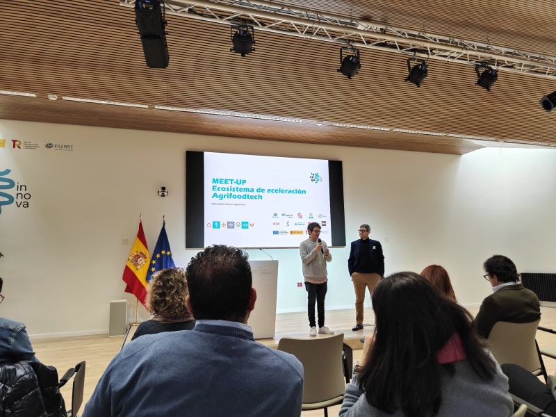
Exploring the Future of AgriFoodTech in Spain: Our Experience at the MEET-UP on Acceleration
On January 30, Sanzar Group had the opportunity to attend the MEET-UP on the AgriFoodTech Acceleration Ecosystem in Spain, a key event that brought together startups, investors, and industry leaders to discuss the future of innovation in agriculture and food...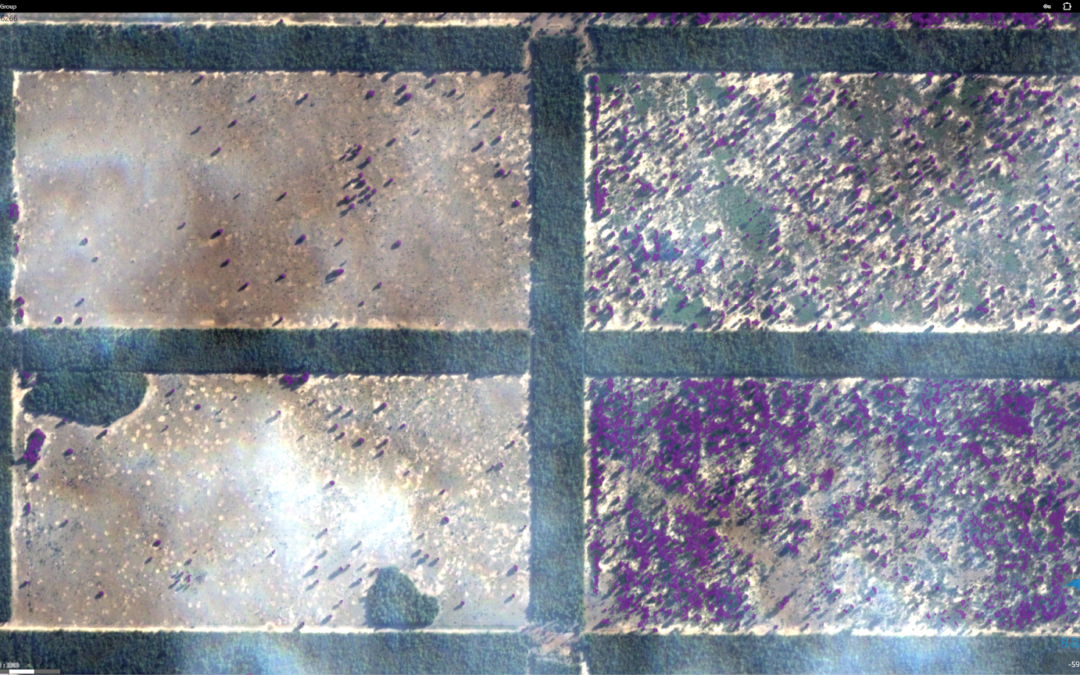
Detection of Unproductive Areas and Weed Control with HD Maps
At AgroAerospace S.L., we continue to provide high-precision geospatial analysis solutions to enhance efficiency in agricultural management. Recently, our services in South America have demonstrated their significant value through the use of high-definition digital...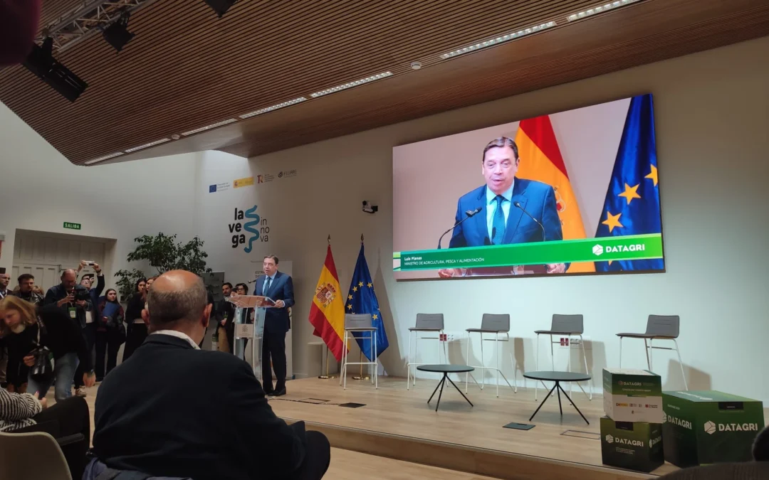
Our Participation in Datagri 2024: Innovating the Future of Digital Agriculture
The Sanzar team had the honor of participating in the 2024 edition of Datagri, one of the most important events for digital transformation in the agri-food sector in Spain. This year, Datagri brought together experts, companies, and industry leaders to explore and...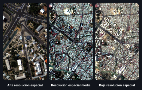
How to Choose the Right Resolution in Satellite Images for Your Projects
The most important factor in determining if a satellite image meets your needs is to see if it has the right resolution. In a regular photograph, images with higher spatial resolution provide a more accurate representation of reality. However, unlike a photograph,...