Blog
Latest Updates
Proud to Join the Santiago Network: Advancing Climate Resilience
At Sanzar Group, we're excited to share that we've joined the Santiago Network, a key initiative of the United Nations Framework Convention on Climate Change (UNFCCC). Launched to support developing countries in tackling loss and damage from climate impacts like...
Scaling into Indian agriculture with Eureka Innowide support
We are excited to share that we have successfully completed our project with Eureka Innowide, funded by the European Union, through which we received €60,000 that has been key to our international expansion. This support has enabled us to enter the Indian agricultural...
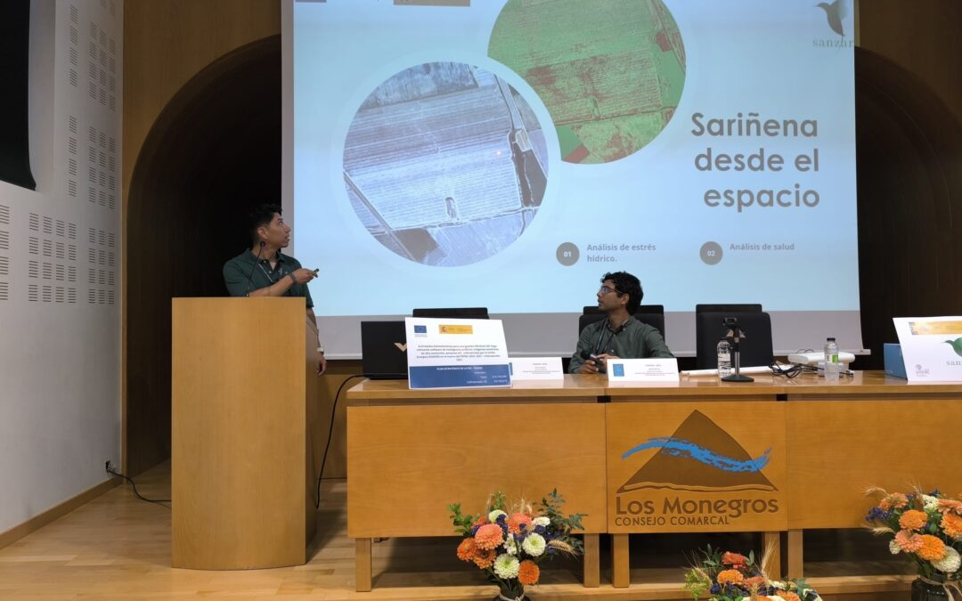
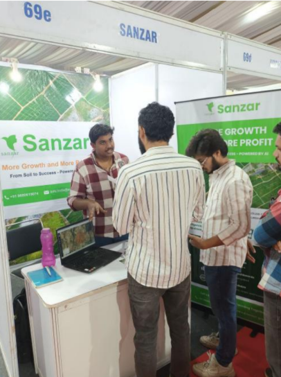
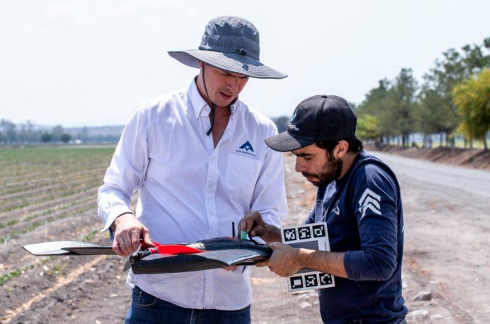
Sanzar Group Brings Digital Agriculture to Farmers at FEMOGA 2025
Last weekend, Sanzar Group took part in the Industrial, Agricultural, and Livestock Fair of Los Monegros (FEMOGA), held in Sariñena (Huesca). Our presence included a dedicated stand where we showcased our digital agriculture modules, which combine high-precision...

Connecting Knowledge: Reflections on Innovation and Entrepreneurship in AgriFoodTech with Ferran Adrià
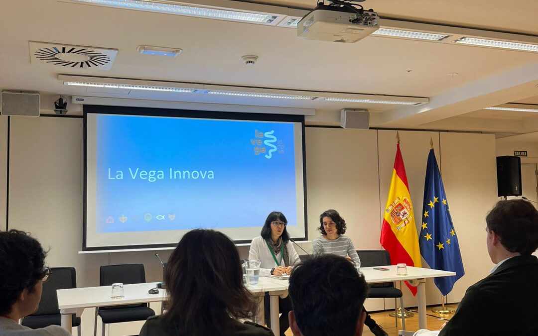
On February 27, we had the opportunity to attend Connecting Knowledge, a key event in the AgriFoodTech sector, where innovation and technological entrepreneurship were the central focus of the day. Organized at La Vega Innova (CENCA, San Fernando de Henares), the...
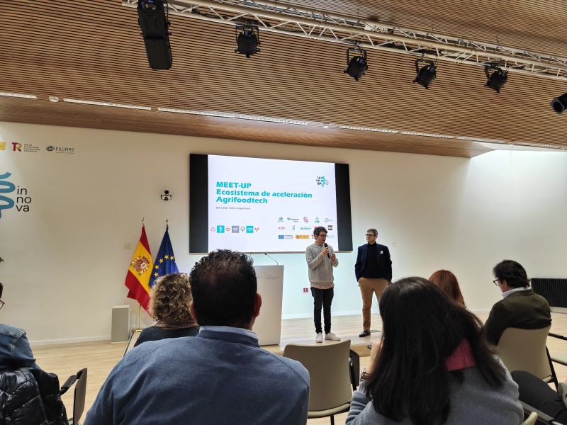
Exploring the Future of AgriFoodTech in Spain: Our Experience at the MEET-UP on Acceleration
On January 30, Sanzar Group had the opportunity to attend the MEET-UP on the AgriFoodTech Acceleration Ecosystem in Spain, a key event that brought together startups, investors, and industry leaders to discuss the future of innovation in agriculture and food...
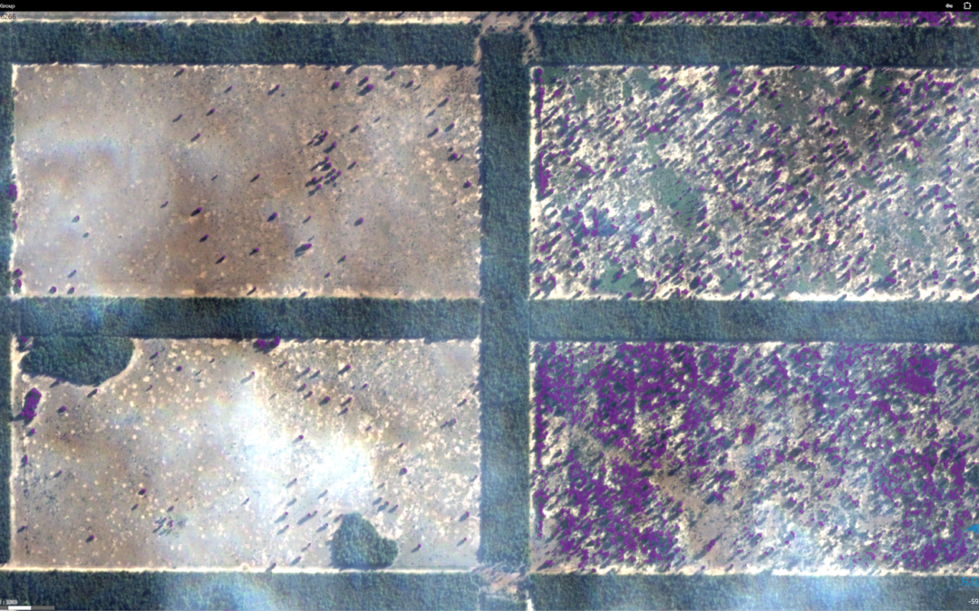
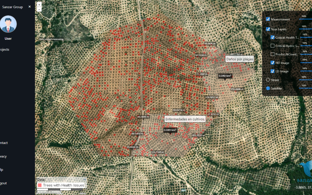
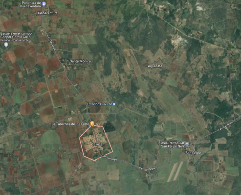
Detection of Unproductive Areas and Weed Control with HD Maps
At AgroAerospace S.L., we continue to provide high-precision geospatial analysis solutions to enhance efficiency in agricultural management. Recently, our services in South America have demonstrated their significant value through the use of high-definition digital...
Our Participation in Datagri 2024: Innovating the Future of Digital Agriculture
The Sanzar team had the honor of participating in the 2024 edition of Datagri, one of the most important events for digital transformation in the agri-food sector in Spain. This year, Datagri brought together experts, companies, and industry leaders to explore and...
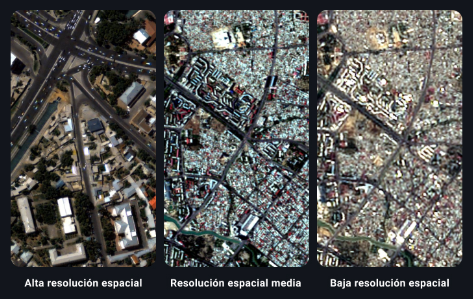
How to Choose the Right Resolution in Satellite Images for Your Projects
The most important factor in determining if a satellite image meets your needs is to see if it has the right resolution. In a regular photograph, images with higher spatial resolution provide a more accurate representation of reality. However, unlike a photograph,...
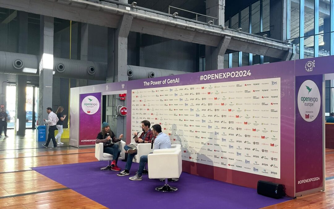
Sanzar Participates in OpenExpo Europe 2024
Last Thursday, the Sanzar team had the honor of participating in OpenExpo Europe 2024, an event that has been a benchmark in Technological Innovation, Digital Transformation, and Open Source for 11 years, with a special focus on Artificial Intelligence (AI) and GenIA....
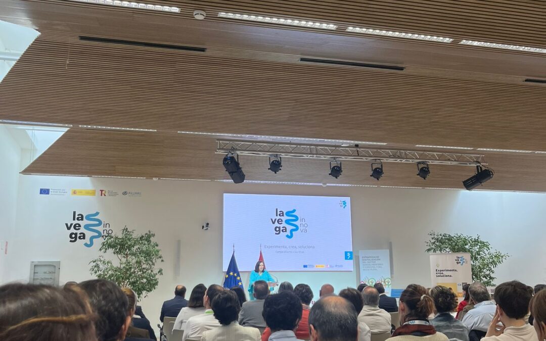
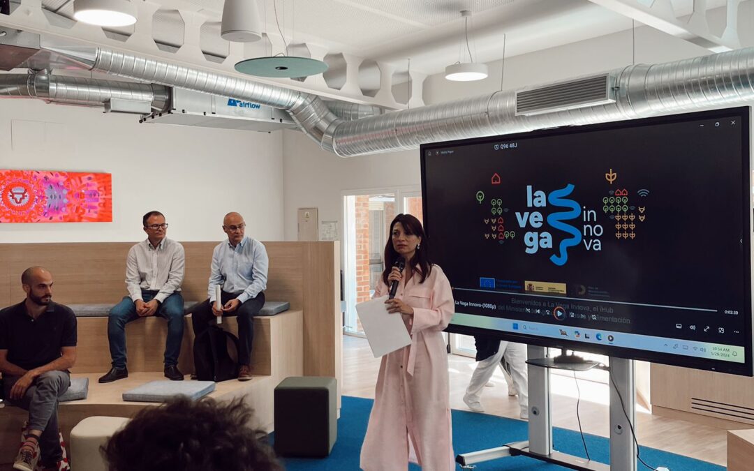
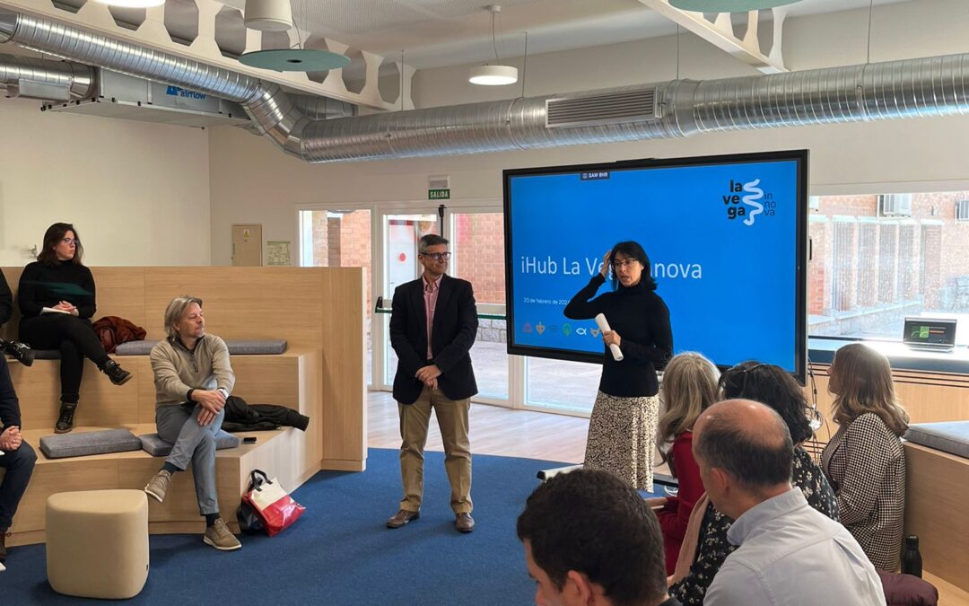
Open House Days at La Vega Innova
We are pleased to share that today we had a very interesting day at La Vega Innova, the digital innovation center of MAPA! 🎉 From Sanzar, we attended the presentation of the new study by the Observatory of the Digitalization of the Agri-Food and Rural Sector titled...
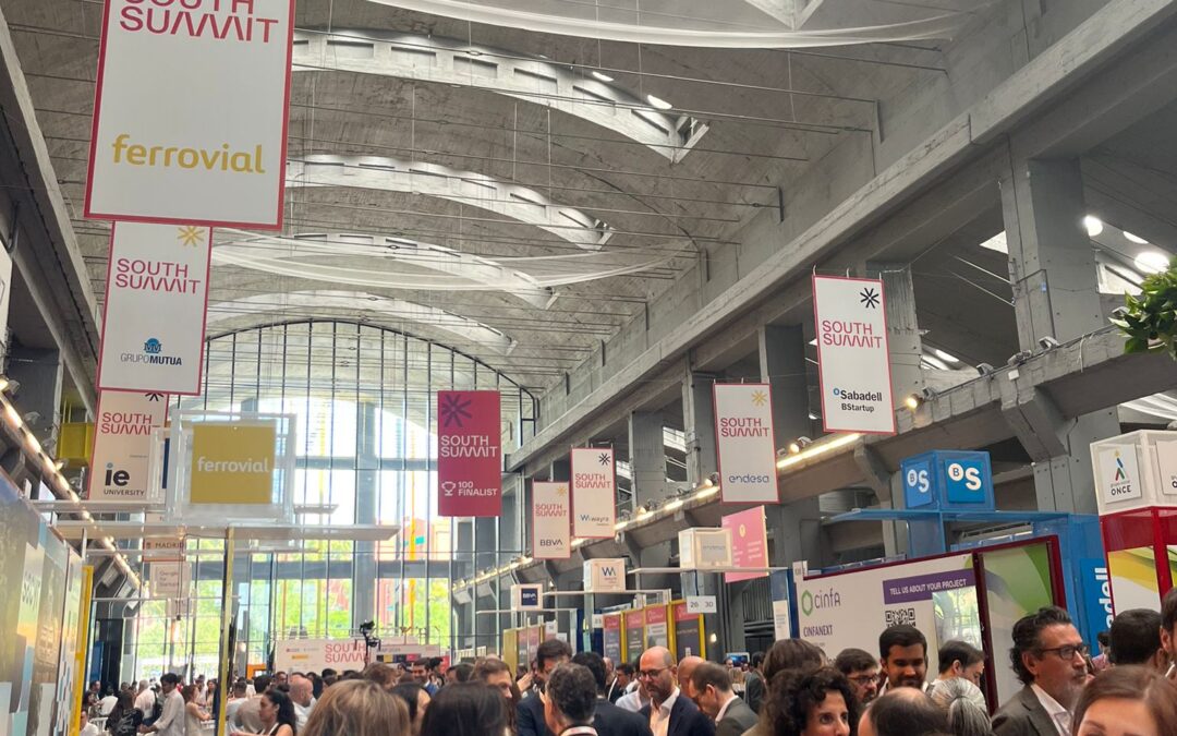
Exploring New Frontiers at South Summit 2024
The Sanzar team is thrilled to share our experience at South Summit 2024. This event, gathering some of the brightest and most innovative leaders worldwide, was a unique opportunity for us to connect, learn, and grow. One of the most exciting parts of South Summit...

Unveiling the Power of AI Land Software: A Video Glimpse
At Sanzar, we're excited to introduce our innovative AI Land Software, a web-based solution that transforms the way you interact with your properties. 🏞️ With AI Land Software, you can visualize your evaluated lands for various applications, such as insurance,...
A Day of Innovation and Opportunity at La Vega Innova’s Investor Day
Today, we had the distinct privilege of presenting our cutting-edge solution, "Risk and Damage Assessment through High-Resolution Satellite Images," at the iHub of La Vega Innova during their Investor Day. This event provided a unique platform for us to showcase our...
Revolutionizing Agriculture with AI and Satellite Technology: Discover Our Advantages in Our New Commercial Video!
We are excited to announce the release of our new commercial video, where we showcase the incredible advantages we offer for the agricultural sector. At Sanzar, we have developed innovative software that utilizes artificial intelligence and high-resolution satellite...
Unlocking Insights: High-Resolution Maps with AI and HD Satellite Imagery
Curious about the power of high-resolution maps driven by AI and HD satellite imagery? Look no further. Here's the video where we explain what we can provide: What Sets Us Apart: Cutting-Edge Technology: We merge AI algorithms with HD satellite imagery to deliver...
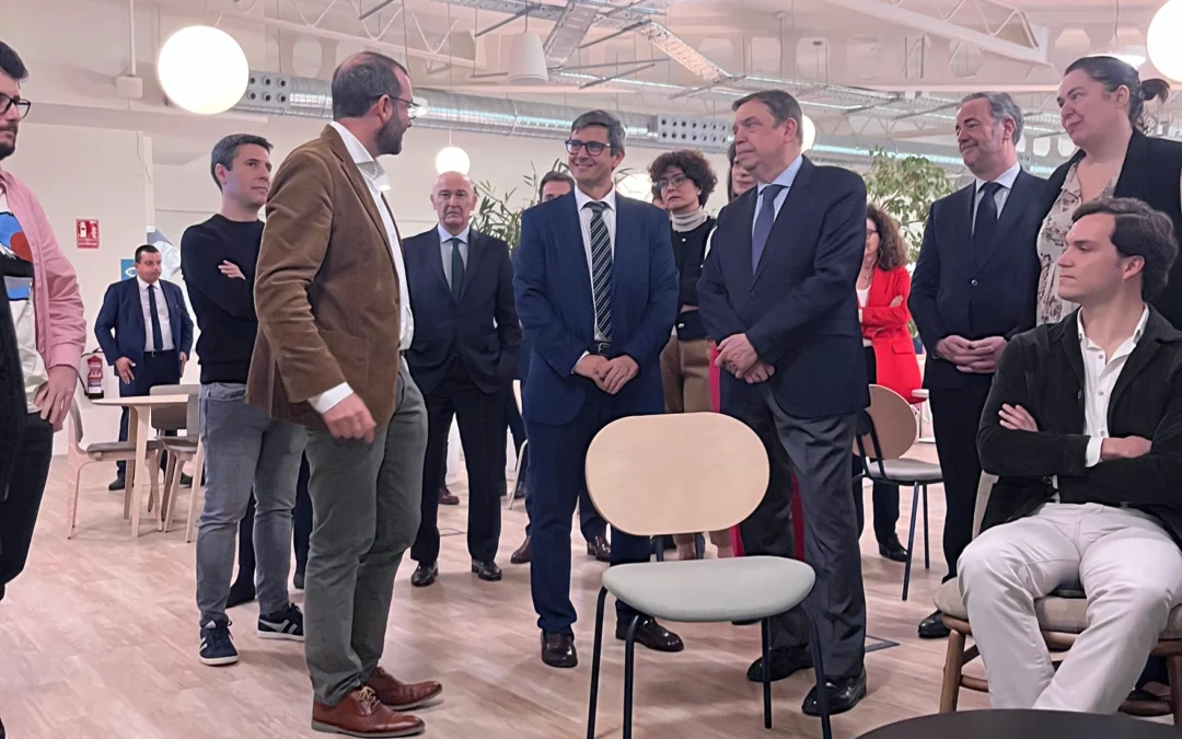
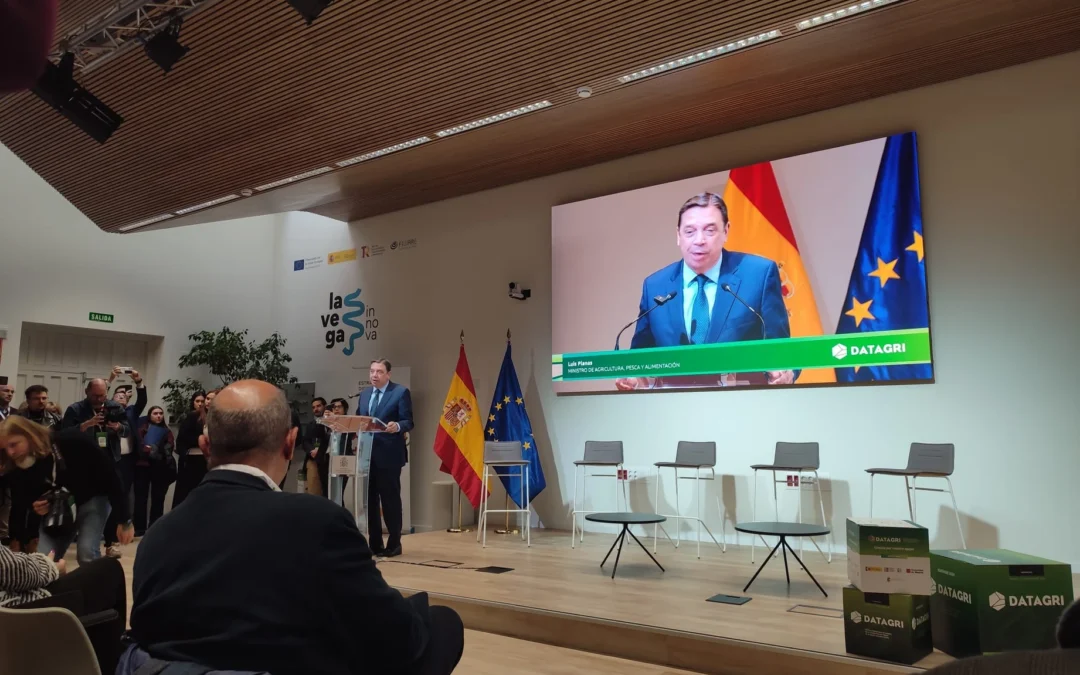
The Minister of Agriculture, Fisheries and Food and Wayra Telefonica’s Director visit iHub La Vega Innova
We at Sanzar are excited to share the details of a momentous event that took place at iHub La Vega Innova, a hub we are proudly affiliated with. In a significant development, we had the honor of hosting Luis Planas, the esteemed Minister of Agriculture, Fisheries and...
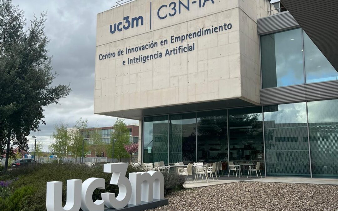
Madrid Community’s New AI Cluster Presentation at the UC3M Science Park
On April 12th, as part of the launch of the new AI Cluster by the Madrid Community, we are honored to be part of an exclusive event that not only showcases disruptive projects and innovations at the C3N-IA Center for Innovation in Entrepreneurship and Artificial...
Sanzar Embraces Community and Opportunity at La Vega Innova Networking Event
Yesterday was a remarkable day for us at Sanzar as we attended the vibrant community gathering hosted by La Vega Innova. The event was a convergence of innovation and collaboration, bringing together an eclectic mix of startups and established corporates. We delved...
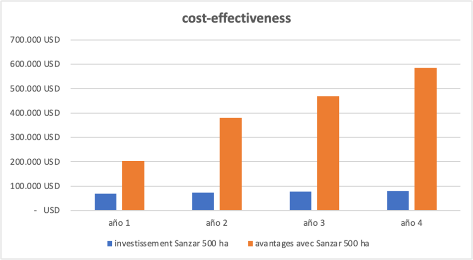
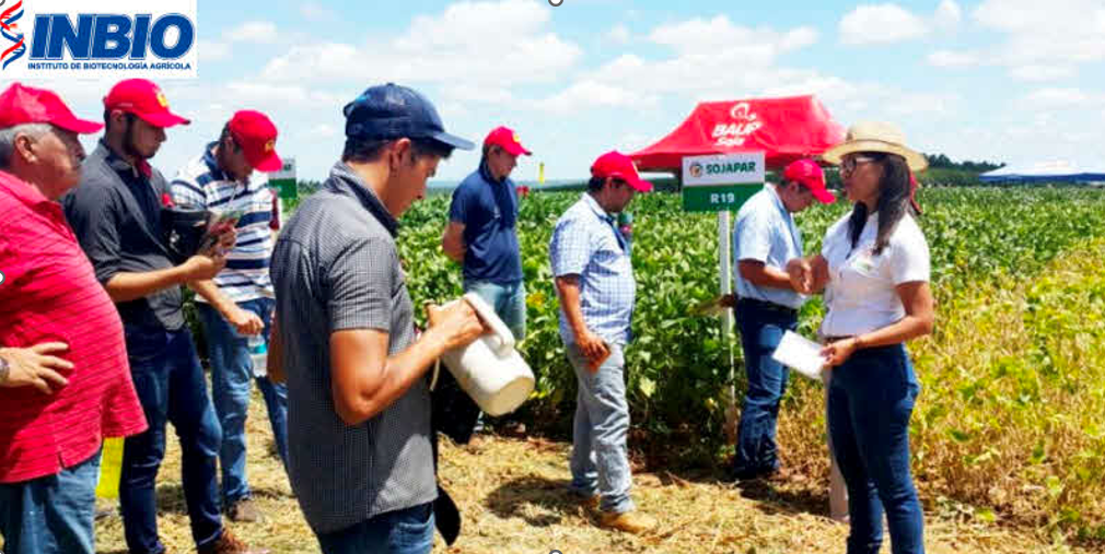
+15% Boost in fertilizer efficiency in Wheat Crop Yields in Paraguay
On August 15, 2022, in collaboration with the esteemed research institution INBIO (Local Support and Validation), harnessed the power of Sanzar Fertimeter to revolutionize their wheat farming practices. Key Achievements: 15% Fertilizer Efficiency Increase: Thanks to...
Sanzar Software applied in Olive: Reducing Costs and Boosting Yields in Tunisia and Spain!
In an ambitious international project, Sanzar Group, in collaboration with IFFCO and IRTA, is spearheading transformative changes in olive farming in Tunisia and Spain. This initiative is poised to reshape olive cultivation, emphasizing sustainability and...
Enhancing Agricultural Practices in Cuba: Sugarcane and Tobacco Farming
In a concerted effort to enhance agricultural sustainability and efficiency, Sanzar Group is engaged in a significant project focused on the cultivation of sugarcane and tobacco in Cuba. Key Insights: Collaboration with AZCUBA and TABACUBA: Sanzar Software has...
Elevating Vineyard Efficiency in Spain: Sanzar Software’s Impact
Slashing Costs by up to $80 per Hectare with Our Software in Paraguayan Soybean Farming!
In Paraguay, agriculture plays a vital role in the economy, with soybean cultivation being a crucial part of agricultural production in the country. However, resource efficiency is essential to ensure long-term sustainability and profitability. This is where our...
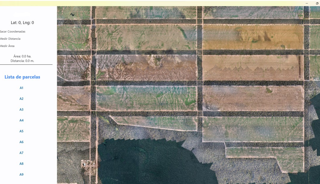
Empowering a Paraguayan Client with 7000 Hectares: Our Custom App for Data Interaction
We have developed a customized app for the client with a user-friendly interface, allowing them to interact with the high-resolution orthomosaic map created using our algorithm and captured by our drone equipped with an RGB camera.For the customized app, we can...
Unlocking Efficiency in Spinach Farming in Canada with Our Software
As of August 15, 2022, we are proud to share a compelling use case of our software in action – this time in the vibrant world of spinach farming in Canada. Sanzar Fertimeter Recommendation Through our Sanzar Fertimeter Recommendation system, we have ushered in a new...
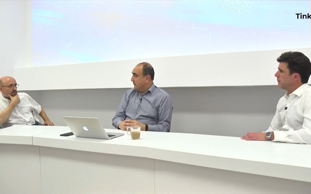
Marco Ruano of Sanzar Discusses AI and Big Data in Precision Farming with Tinku
Recently, Marco Ruano, CEO of Sanzar, was interviewed by Tinku, a business media outlet, to discuss the company's innovative role in precision agriculture and livestock farming utilizing artificial intelligence and big data. With an extensive background in...
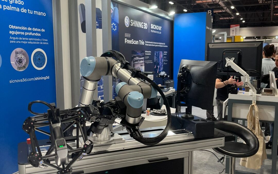
Assisting to MetalMadrid, Composites y Robomática Madrid!
Today, our team had the honor of attending MetalMadrid, a fair brimming with cutting-edge innovation in the industrial sector. Our main goal was to establish strategic connections to enhance the quality of our inertial actuator versions.[dipi_masonry_gallery...
Participation in the La Vega Innova Acceleration Program: A Commitment to Agricultural Innovation
Yesterday, our team recently had the privilege of participating in the much-anticipated La Vega Innova program event. This initiative, spearheaded by the Ministerio de Agricultura, Pesca y Alimentación in partnership with Wayra, marks a significant milestone in...
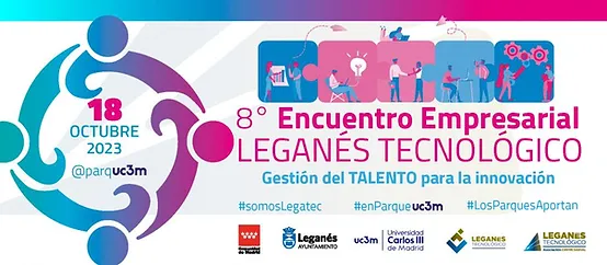
Join us at the event: “8º Encuentro Empresarial Leganés Tecnológico”
We're excited to open our doors to all of you for the "8º Encuentro Empresarial Leganés Tecnológico" happening on October 18th. It's an event you won't want to miss! At Sanzar, we're eager to showcase our latest breakthroughs in technology. Come explore the future...
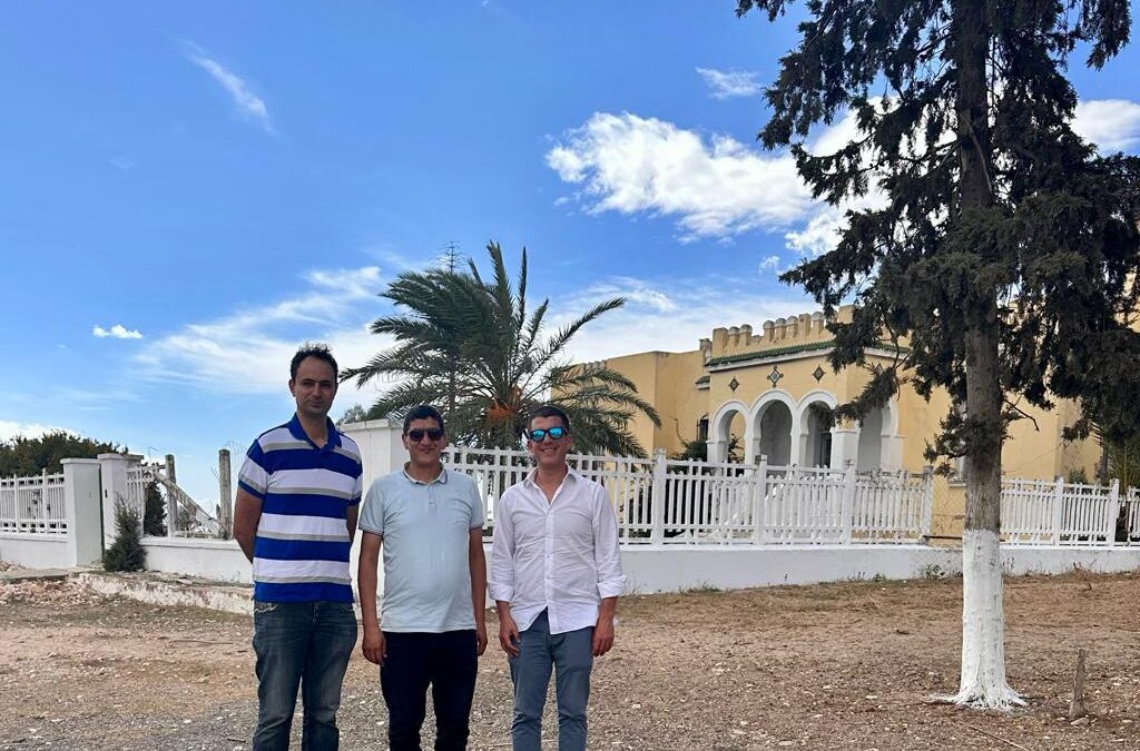
Sanzar Group and Al Rajhi-El Ferjani: Integrating IoT for Smart Agriculture in Tunisia
Today was a landmark day for Sanzar Group. In the warm lands of Tunisia, we had the privilege to meet with Atef Ferjani, owner of the renowned Al Rajhi-El Ferjani olive oil processing and packaging company, and Ayman Khabou, head of Sanzar Group Tunisie.Our main goal...
Sanzar-Group’s Arrival at Madrid Platform: Uniting Business Visions Across Europe and Latin America
In a strategic move that speaks to their global vision, Sanzar-Group has set its sights on the Madrid Platform, an exclusive hub comprising over 5,000 enterprises spanning Europe and Latin America. This significant move is further empowered by their possible future...

Sanzar Group at the Food Design Festival!
On Friday, September 15, 2023, we had the pleasure of immersing ourselves in a fascinating world of innovation and creativity in the heart of Madrid. The stage was set at La Nave, the reference innovation center of the City of Madrid, which brings together curious...
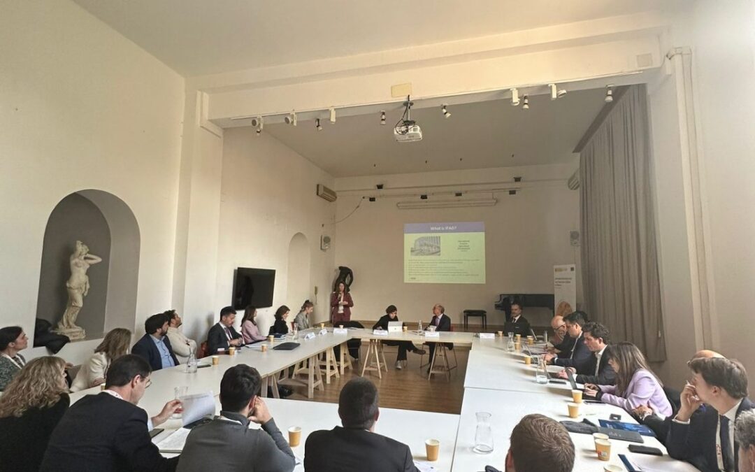
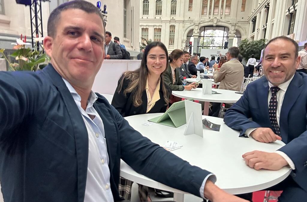
PARTICIPATION OF SANZAR IN AGROALIMENTARY PROJECTS OF FAO AND FIDA
We are excited to share that Sanzar has had the opportunity to participate in agroalimentary projects with both FAO and FIDA. Through these projects, we have established a strong foundation for collaboration with these organizations to implement our software aimed at...