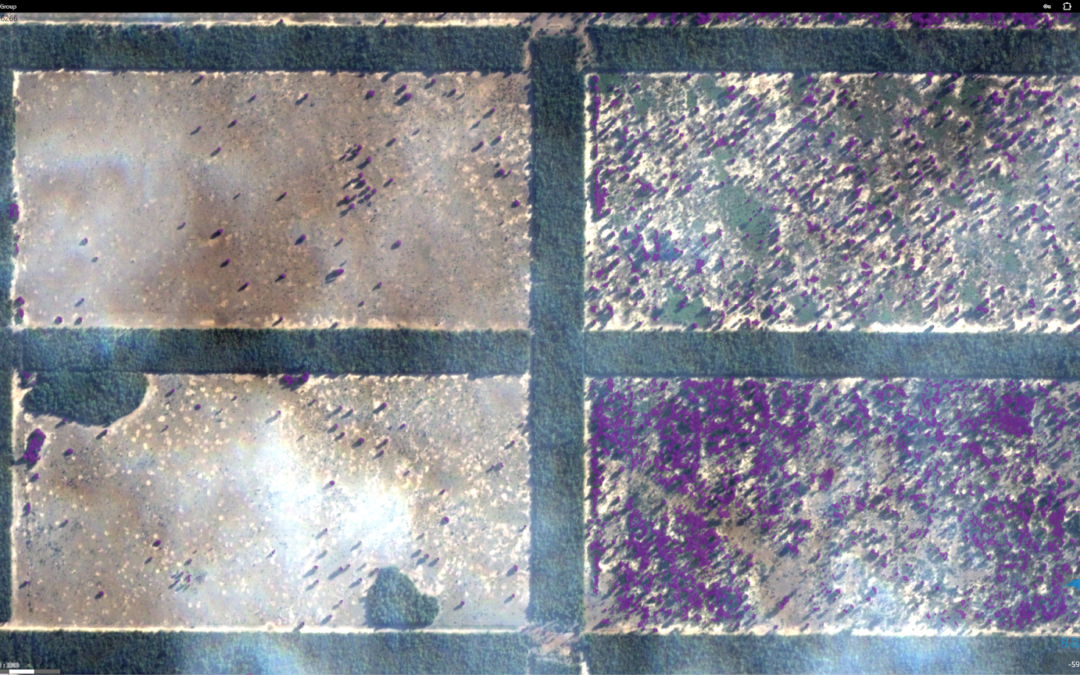
Scaling into Indian agriculture with Eureka Innowide support
We are excited to share that we have successfully completed our project with Eureka Innowide, funded by the European Union, through which we received €60,000 that has been key to our international expansion. This support has enabled us to enter the Indian agricultural...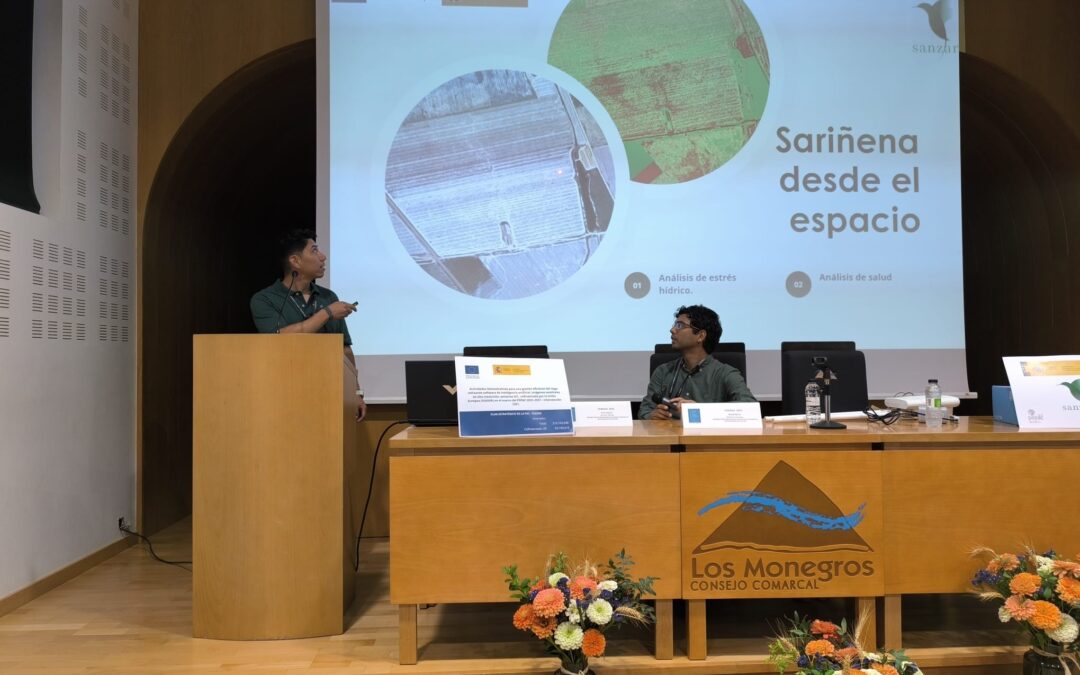
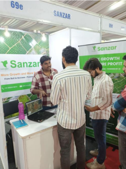
Sanzar Group Brings Digital Agriculture to Farmers at FEMOGA 2025
Last weekend, Sanzar Group took part in the Industrial, Agricultural, and Livestock Fair of Los Monegros (FEMOGA), held in Sariñena (Huesca). Our presence included a dedicated stand where we showcased our digital agriculture modules, which combine high-precision...
Connecting Knowledge: Reflections on Innovation and Entrepreneurship in AgriFoodTech with Ferran Adrià
On February 27, we had the opportunity to attend Connecting Knowledge, a key event in the AgriFoodTech sector, where innovation and technological entrepreneurship were the central focus of the day. Organized at La Vega Innova (CENCA, San Fernando de Henares), the...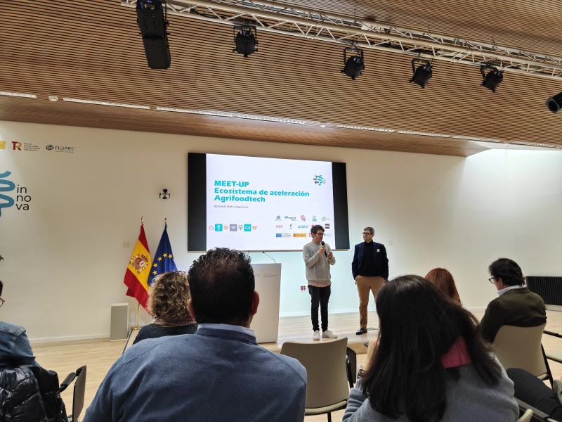
Exploring the Future of AgriFoodTech in Spain: Our Experience at the MEET-UP on Acceleration
On January 30, Sanzar Group had the opportunity to attend the MEET-UP on the AgriFoodTech Acceleration Ecosystem in Spain, a key event that brought together startups, investors, and industry leaders to discuss the future of innovation in agriculture and food...