
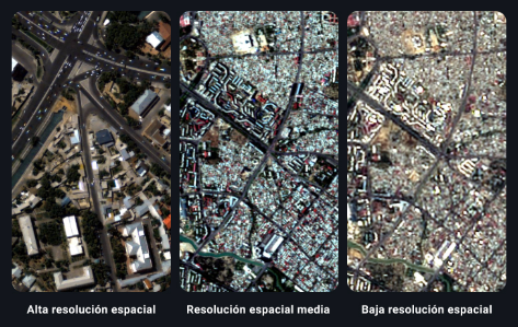
How to Choose the Right Resolution in Satellite Images for Your Projects
The most important factor in determining if a satellite image meets your needs is to see if it has the right resolution. In a regular photograph, images with higher spatial resolution provide a more accurate representation of reality. However, unlike a photograph,...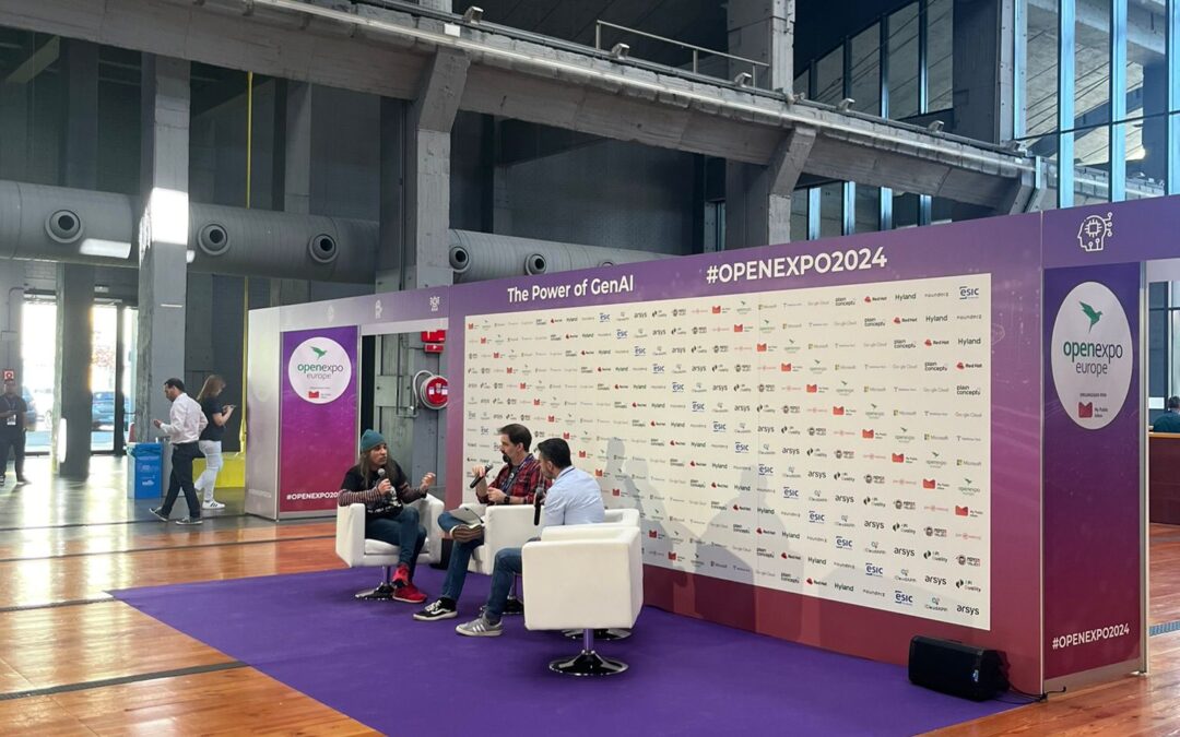
Sanzar Participates in OpenExpo Europe 2024
Last Thursday, the Sanzar team had the honor of participating in OpenExpo Europe 2024, an event that has been a benchmark in Technological Innovation, Digital Transformation, and Open Source for 11 years, with a special focus on Artificial Intelligence (AI) and GenIA....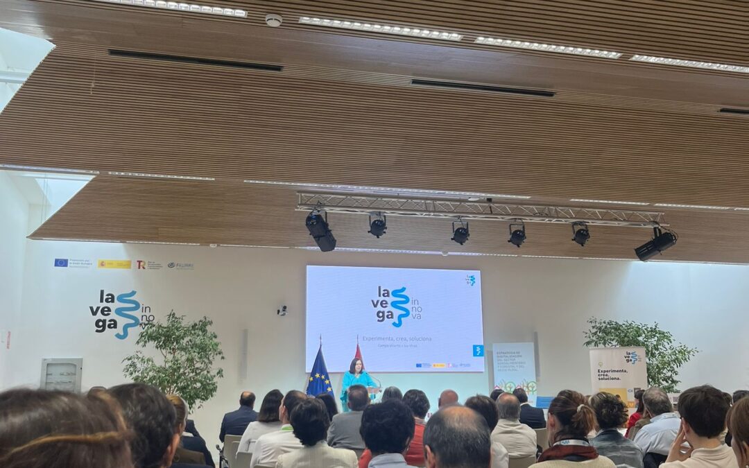
Open House Days at La Vega Innova
We are pleased to share that today we had a very interesting day at La Vega Innova, the digital innovation center of MAPA! 🎉 From Sanzar, we attended the presentation of the new study by the Observatory of the Digitalization of the Agri-Food and Rural Sector titled...
Exploring New Frontiers at South Summit 2024
The Sanzar team is thrilled to share our experience at South Summit 2024. This event, gathering some of the brightest and most innovative leaders worldwide, was a unique opportunity for us to connect, learn, and grow. One of the most exciting parts of South Summit...