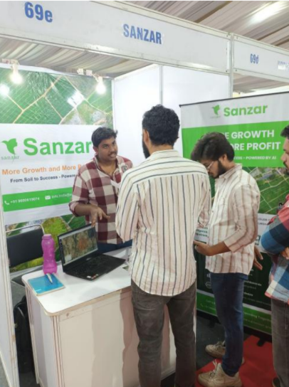
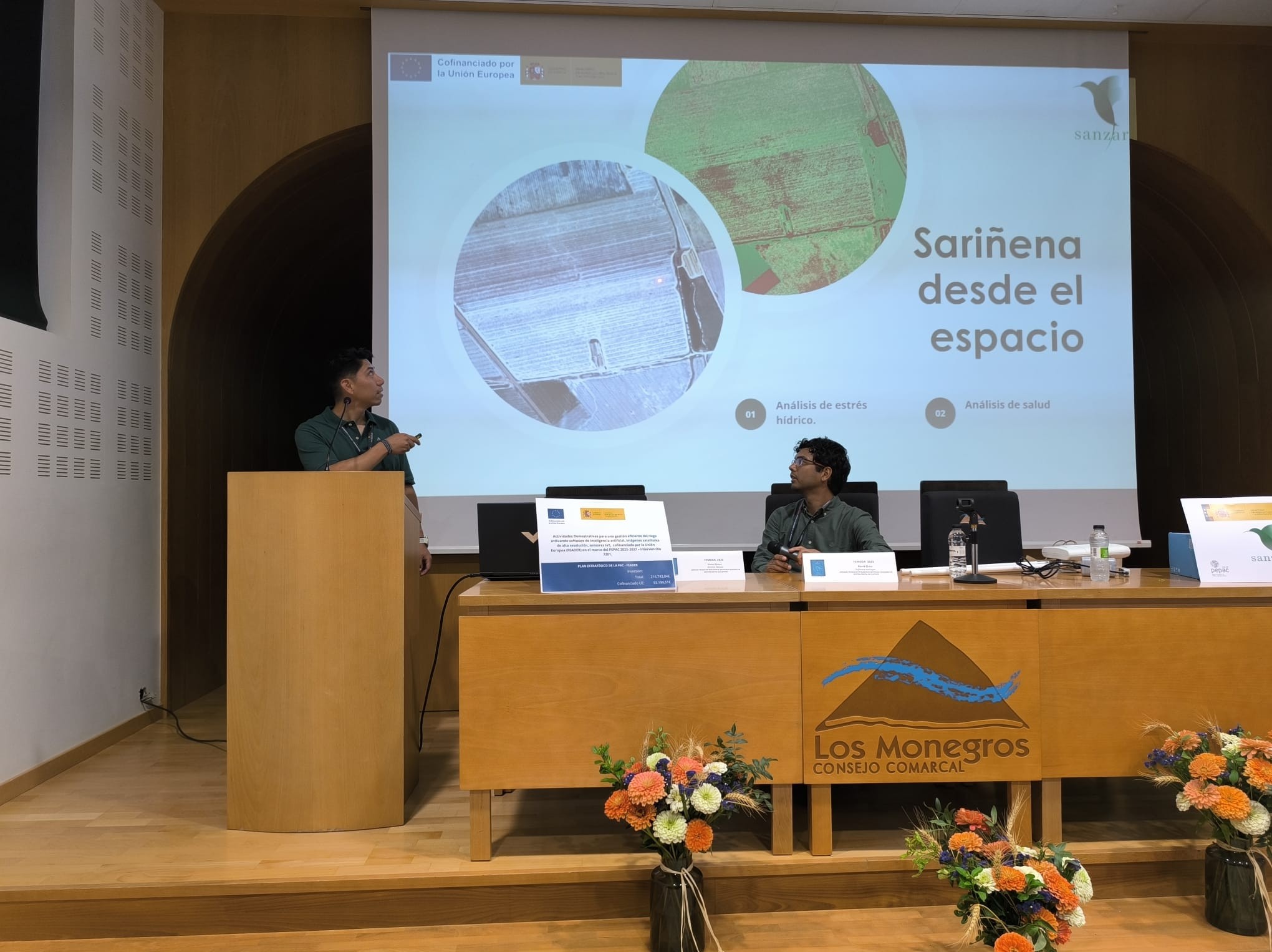
At AgroAerospace S.L., we continue to provide high-precision geospatial analysis solutions to enhance efficiency in agricultural management. Recently, our services in South America have demonstrated their significant value through the use of high-definition digital maps (30 cm/pixel), enabling producers to optimize their land with accurate and localized information.
Results Achieved
Through our digital monitoring and detection technologies, we have identified significant savings opportunities for the agricultural industry:
Benefits of Our HD Digital Maps
-
30 cm/pixel precision: Enables detailed detection of areas of interest.
-
Early problem identification: From unproductive areas to weed infestations.
-
Reduction of operational costs: Optimizing input applications and improving agricultural planning.
-
Data-driven decision-making: Increased efficiency in crop and resource management.
Affordable Cost and Easy Implementation
Our services start at 0.75 EUR per hectare, offering exceptional value for producers and agronomists looking to improve their land profitability.
If you are interested in conducting a pilot test or want more information about our solutions, please contact us. We can schedule a meeting to thoroughly analyse our proposal and tailor our technologies to your needs.
Software Demonstration
To learn more about our technology, you can access a live demonstration of our software at:
🔗 ai-land-software.sanzar-group.com
📱 Also available on our mobile application.
Additionally, our blog features success stories and videos showcasing how our technology is applied in land evaluation and agricultural risk management.
Collaborations and Agreements
We also offer Non-Disclosure Agreements (NDA), which allow for a more detailed exchange of information on specific projects, for smoother collaborations.
Contact us today and transform your land management with precision technology!